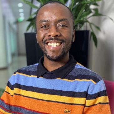

Oliver Mandila, FSC International
Oliver is the program manager for data and innovations in FSC, based in Bonn. He joined FSC in April 2022 having worked for six years as a management consultant at PwC. His greatest motivation is in finding areas of application for data and emerging technologies in combating the ongoing climate and biodiversity crisis.
Scot McQueen, FSC International
Scot McQueen joined FSC as the Senior Technology Officer in July of 2021. Scot joined FSC from ESRI, where he was the Senior Account Executive responsible for global sales strategy, messaging, and major account development within the Commercial Forestry Sector. He has extensive experience with strategic planning, project management, and relationship building with clients and partners. While at Esri, he worked with over 300 commercial forestry customers and has built strong alliances with partners in industry and technology companies that have timber management solutions. He has always been passionate about environmental causes and feels strongly that certification is a key solution to addressing deforestation and forest degradation.
Event Details
-
Date: Monday 10 October
-
Time: 11:00 - 12:30
-
Room: Hibiscus & Frangipani
-
Language: English
-
Format: In-person
