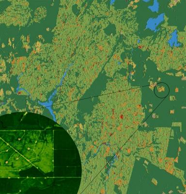
Tracking Our Forests from Space How Geospatial Technologies are Helping Us to Demonstrate the Benefits of FSC Certification.pdf
Póster: Seguimiento de nuestros bosques desde el espacio: cómo nos ayudan las tecnologías geoespaciales a demostrar los beneficios de la certificación FSC
(Disponible únicamente en inglés)
Spatial technologies are a key pillar of the digital transformation of FSC toward a data-driven organization. Spatial data obtained from remote sensing and
geospatial technologies unleash the full potential of conducting more advanced analysis and help us understand the what, where, and when of the forest value and benefits associated with forest stewardship. As part of Monitoring & Evaluation activities, FSC International is now using these technologies to monitor FSC-certified forests.
Las opiniones expresadas en este producto informativo son las de su(s) autor(es) y no reflejan necesariamente las opiniones o políticas del FSC.
